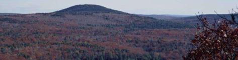
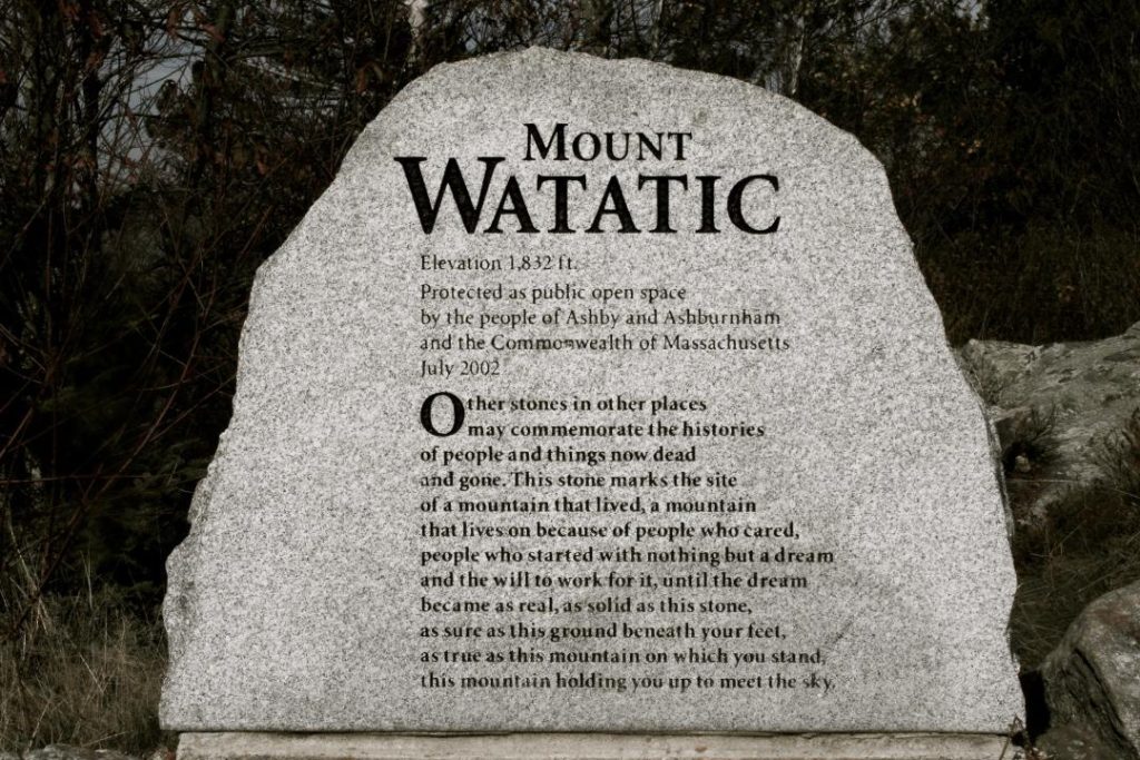
Mount Watatic allows public access to a parcel that contains 231 acres in the town of Ashby, which was formerly the old Mt. Watatic ski area. Some additional 50 acres, which includes the summit and Nutting Hill, is in the town of Ashburnham. The landscape is diverse with open ski slopes and rock outcroppings in various stages of succession, and remnants of old growth along steep forested slopes. The parcel abuts land held by DCR, Fish & Wildlife and Fitchburg Rod & Gun. Watatic is at the intersection of two major trail systems, the Wapack and Midstate, and offers plenty of hiking, snowshoeing and skiing opportunities. The two bald summits give 360 degrees of panoramic views; to the east, the Boston sky line, to the south, Mt Wachusett, to the west, Mount Monadnock and north to the Wapack Range.
Mount Watatic is the crown jewel of a protected network of over 3,000 contiguous acres. The mountain is heavily visited by hikers, especially on weekends.
Mount Watatic is also the centerpiece of the Watatic Important Bird Area, as designated by Mass Audubon, and is part of a major migrating bird flyway.
The Ashby Land Trust was instrumental in the fundraising and activism efforts to preserve Mt. Watatic, and holds a seat on the Watatic Management Committee.

Size: 231 acres
Directions: Take Rt 119 west from Ashby Common for 4.8 miles. There is a sign and small parking area on right. Be aware that parking is banned on Route 119 near the trailhead, and the ban is enforced.