Wiita Conservation Area
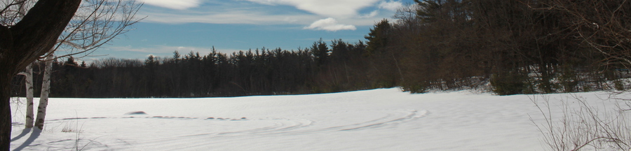
The Wiita Conservation Area, contains Blood Hill, the highest peak in Middlesex County. The Conservation area is a large parcel of 169 acres of publicly accessible protected land. In 2001 the Town purchased the land from Mrs. Adell Wiita, with the help of a generous donor and a State Self-Help grant. The Land Trust co-holds the Conservation Restriction. The property is located at the end of Luke Road. and contains a small parking area for easy access. One half of a large field of about 20 acres forms the eastern and southern boundary of the parcel. The other half is privately owned. The remaining 150 acres is forested except for the bald summit that provides excellent views east and north over the lower hills and valleys. Just off the parking area is a gated path that meanders along a stream and wetland to the summit. The western terminus of this property forms the boundary with Ashburnham.
- Size
- 169 acres
- Directions
- From the Ashby Common go .9 miles west on 119 to a left on Erickson Road. Go 1 mile and turn right on Luke road. Drive to the end of the road.
- Parking
- To the right of the gate there is a small parking area.